
A park that looks empty can still sit under controlled airspace, a temporary flight restriction or another limit. In the United States, the FAA’s B4UFLY page lists approved desktop and mobile service providers that help recreational flyers check airspace information before a flight.
Check the exact takeoff location
Open an FAA-approved B4UFLY provider, search the planned launch point and review the map layers and notices shown for that location. The FAA says these services can display controlled and special-use airspace, airports, national parks, military training routes and temporary restrictions. Check again close to flight time because conditions and restrictions can change.
B4UFLY is a situational-awareness resource—not a general permission slip. Some controlled-airspace operations require prior authorization through LAANC or another approved process. Follow the provider’s directions and FAA requirements, and do not launch if you are unsure whether authorization is needed.
Keep the rest of the safety check
Confirm you can keep the drone in visual line of sight, avoid other aircraft, respect people and property, and comply with local park or land-manager rules. The FAA requirements differ for recreational and non-recreational operations. If you are flying for work or another non-recreational purpose, do not assume recreational guidance applies.
Important: B4UFLY applies to U.S. airspace information. If you are outside the United States, consult your national aviation authority and local restrictions instead of relying on an American map.
Quick habit: check the location, check current notices, confirm any needed authorization, then reassess the weather and visibility before powering up.
Official sources
FAA: B4UFLY airspace awareness services
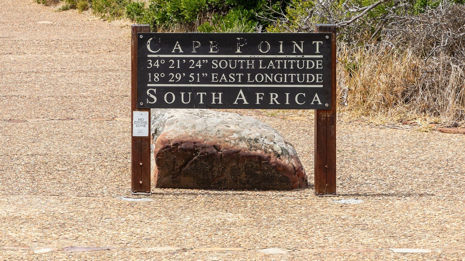
Featured image: Dietmar Rabich via Wikimedia Commons, CC BY-SA 4.0. Image source and license.
Leave a Reply