
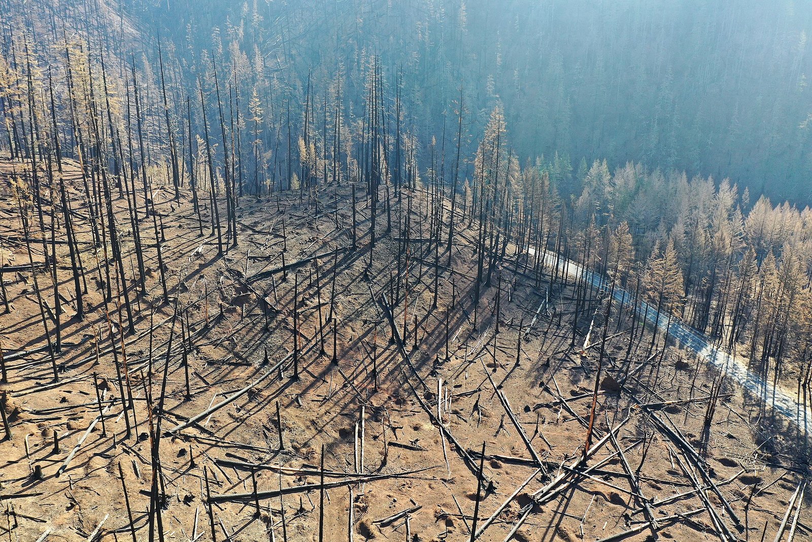
A drone can produce a striking image of a wildfire. In an active incident, however, the more important engineering question is whether that aircraft can operate without adding risk to firefighters, helicopters, air tankers and other responders.
The FAA describes UAS uses in wildfire response that include situational awareness, mapping fire perimeters and assessing damage. It also emphasizes coordination with interagency partners and safe integration into the National Airspace System. The technology is valuable precisely because it can help people make decisions—but only when the operation is planned around the shared airspace.
Design for the incident, not just the flight demo
For embedded and software teams, wildfire operations expose requirements that a bench test cannot: resilient communications, reliable timestamps, clear location data, readable status, and a way to communicate loss of link or degraded sensors. A camera feed is not enough if the incident team cannot tell when it was captured, where it applies or whether it is current.
Developers should work with the responsible agency and qualified operators to define what data is useful, who is authorized to receive it, and how the aircraft will be coordinated with other aviation resources. Emergency conditions do not erase airspace rules. FAA guidance points operators toward established authorization and coordination processes, and the exact path depends on the operation.
Keep the safety case visible
A useful project plan records the intended mission, operating limits, communication assumptions, data-handling rules and a safe response to equipment failure. It also rehearses how the team will pause or end the mission when conditions change. These are product and operations questions, not features that can be delegated to an autonomy algorithm.
The FAA’s wildfire page explains the value of UAS while highlighting coordination among agencies. That is the key lesson for developers: the most successful emergency drone is not necessarily the one with the highest-resolution camera. It is the one that gives responders trustworthy information while fitting into a coordinated, authorized operation.
Sources
Featured image: Oregon Department of Transportation, “Drone view of the fire damage,” CC BY 2.0, via Wikimedia Commons. Image may be cropped for display. Source.

Leave a Reply